Camel Trail from Padstow: Wadebridge and Walks
Walk or cycle the Camel Trail from Padstow towards Wadebridge, plus how it differs from the coast path. Check the council trail page before you go.
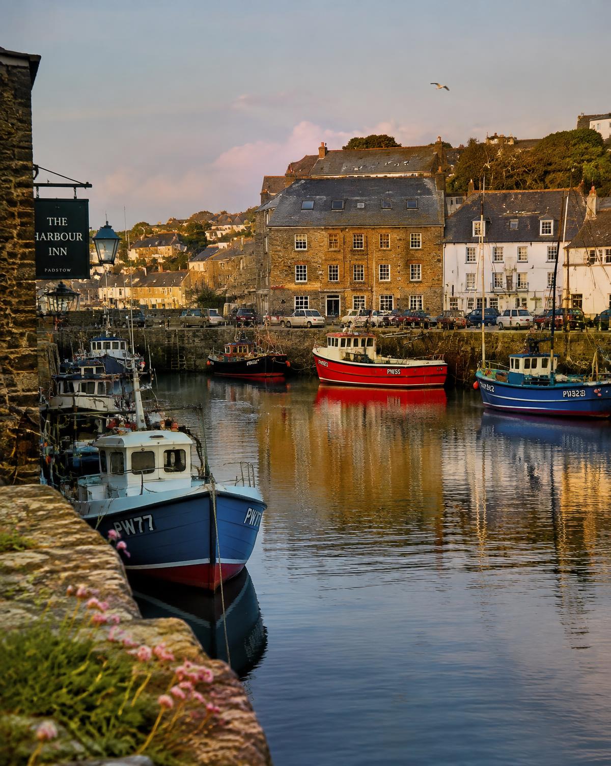
The Camel Trail from Padstow is the level, surfaced choice: a largely traffic-free multi-use trail towards Wadebridge, not a coast path and not a list of every walk in town. If you want the wider Padstow plan first, start with our Padstow Cornwall travel guide. A short destination card is on visit Padstow.
The facts below are from Cornwall Council's Camel Trail page, updated 3 July 2025 and checked on 3 October 2026. Check the council trail page again before you go. This article does not add distances, times or surfaces the page does not give.
What the council describes
Cornwall Council describes the Camel Trail as 18 miles, largely traffic free, surfaced and virtually level. Eighteen miles is the whole trail in that description. It is not a target you have to finish from Padstow in a day, and it is not permission for this guide to split the remainder into further measured sections. No other section length is added here.
The character is the point of choosing it. Largely traffic free, surfaced, virtually level: that is a different outing from a cliff or dune path. "Largely" is the council's word, so the page is not claiming a sealed private road with no interface to anything else. Read the council page for the current description before you treat the surface as guaranteed.
Who it is for, and what it costs
The council names four kinds of use: walkers, cyclists, horse-riders and wheelchair users. The cost is free. That is the access statement this guide will repeat. It does not add a speed rule, a permit, a closing time or a bike-hire desk. None of those were on the signed facts for this page, so none are invented here.
If you are choosing between walking and cycling, the council's distance still applies to both. What changes is your own pace, and this page will not guess that pace or turn 5.5 miles into a journey time.
Padstow to Wadebridge
The section this support is actually about is Padstow to Wadebridge: 5.5 miles (8.8 km) on the council page. That is the natural out-and-back, or out-and-turn, for a day that starts in Padstow. Wadebridge is the far end of the signed section, not a prompt to keep quoting miles beyond it.
Plan it as a there-and-back only if you are happy to cover the section twice. This guide does not invent a return bus, a one-way cycle hire, or a shortcut off the trail. If 5.5 miles one way is the walk you want, 5.5 miles is the figure to hold. If you need less, turn around earlier. This guide does not add a ladder of intermediate distances along those 5.5 miles, and it does not copy any further section lengths.
The wider 18-mile trail is the context, so you know the path is part of something longer. It is not an instruction to continue past Wadebridge on numbers this page does not carry. Check the council page if you want whatever section detail it shows on the day, and do not promote any other web address on this site as the trail article. The support you are on is the one to use.
Where the council says you join it in Padstow
The council's Padstow access line is: Padstow (SW921 747) — multiple car parks in the town. That grid reference is the signed way to match a map. "Multiple car parks" is as specific as the trail page gets. It does not name a single trailhead bay, a charge, or an opening hour.
For the town car park the council lists as Link Road, Padstow, PL28 8AY, including the 24-hour note and the seasonal tariffs, use getting to Padstow and the council's own Link Road page. Do not assume every town car park is that one, and do not assume the trail page has done the tariff work for you. Check both before you travel.
Trail, not coast path
People often mix the Camel Trail up with a walk out of Padstow along the estuary mouth. They are different outings, and this page will not pretend they are one loop.
The trail is the council's surfaced, largely traffic-free, virtually level multi-use route, with the Padstow to Wadebridge section at 5.5 miles (8.8 km). A walk towards Hawker's Cove is a beach walk at the mouth of the Camel, with its own tide and safety notes. That piece is Hawker's Cove, Padstow. It is one cove, not a coast-path guide.
This page does not add a coast-path route, a coast-path distance or a coast-path surface. Those facts were not part of the signed trail source. If you want the trail, stay with the council's description and the 5.5-mile section. If you want the cove, switch articles rather than stitching a route we have not measured.
A Padstow day that uses the trail properly
Give the trail the day, or give it a clear half. The 5.5 miles to Wadebridge is enough of a plan on its own once you include being on foot or on a bike, a turnaround, and the time you actually spend rather than a time we invent. Pairing it with a Rock ferry hop and a swim at Hawker's Cove in the same afternoon is how the seasonal last boat, or the tide, becomes a surprise. The ferry has its own page, Padstow to Rock ferry, for when that is the choice instead.
You do not need a ranked list of stops along the estuary to use the trail well. Start from the Padstow access the council gives, keep to the surfaced trail, and turn when Wadebridge, or your own limit, says so. Wheelchair users, horse-riders, walkers and cyclists are all named by the council, which means the path is shared. The page we are citing does not add a priority rule beyond that shared use. Leave room.
Check before you go
- Council page updated 3 July 2025, checked 3 October 2026: 18 miles, largely traffic free, surfaced, virtually level, free to use.
- Users named: walkers, cyclists, horse-riders, wheelchair users.
- Padstow to Wadebridge: 5.5 miles (8.8 km). No other section length is stated in this article.
- Padstow access: SW921 747, multiple car parks in the town. Tariffs are not on the trail page.
- No journey time, bike hire or coast-path distance is given here, because none was in the signed facts.
Check the council trail page before you go, then come back to the Padstow Cornwall travel guide if the rest of the day still needs a decision. Overnight plans start at places to stay in Cornwall. That is the trail note from Cornwall Travel Guide.
Read next
Magazine
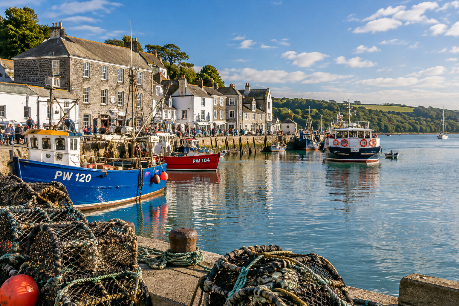
Padstow Harbour: A Working Day on the Camel
How Padstow harbour works as a fishing and ferry port, and how to spend a day around it without turning it into a restaurant ranking.
Magazine
Hawker's Cove, Padstow: Beach Walk and Swim
A walk-out beach at the mouth of the Camel, from Padstow towards Hawker's Cove. One cove, not a beaches list. Check safety and access before you swim.
Magazine
Padstow to Rock Ferry: Camel Estuary Day
How the Padstow to Rock passenger ferry fits a Camel estuary day. Check the harbour operator for times and fares before you travel.